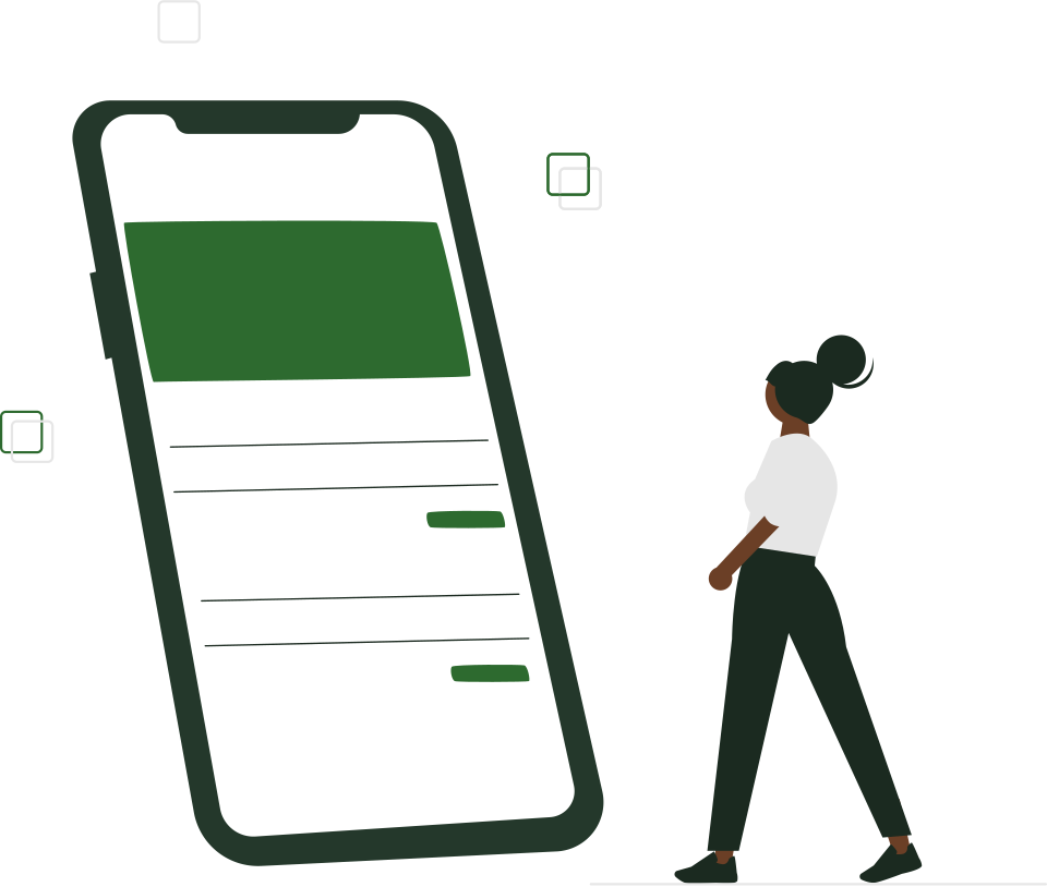
Know the land before you pay for it.
Walk the boundary with your phone and TerraTrack measures the plot. Upload the title deed or Ardhisasa search and it checks the name and size. Then list it, talk to buyers, and record every step of the sale until the title changes hands.
Google Play release coming soon.How to install the APK
Why TerraTrack
Buying land in Kenya should not feel like a gamble
Fake or mismatched papers
A title deed in someone else's name, or a plot smaller than the paper says.
Documents are read and matched against the listing
"It's about an acre"
Sizes guessed by eye, beacons nobody has walked, and arguments with the neighbours later.
Walk the boundary and get the real area
Deals that go quiet
Money sent, then no transfer, and nothing written down to show who agreed to what.
Each step confirmed by both sides, with proof
How it works
From the first step on the plot to the title in your name
- 01
Walk and measure
Walk the plot's boundary with your phone. TerraTrack drops a point at each corner and works out the area and perimeter.
- 02

Verify the papers
Upload your ID, title deed or Ardhisasa certificate. The text is read and checked against the name and size.
- 03
List it
Turn the measured plot into a listing with photos, price and location. Once approved, buyers find it in the feed or on the map.
- 04
Close the deal
Chat with the buyer, agree the terms, and record every step of the sale until the title is transferred.
GPS measurement
A tape measure in your pocket
Stand at a corner, tap, walk to the next one. Your phone's GPS records each point and TerraTrack draws the plot and calculates its area on a curved earth, not a flat sheet of paper.
- Area in hectares and square metres, plus the perimeter
- The server recalculates the area so the figure on a listing can be trusted
- Compass calibration for steadier readings
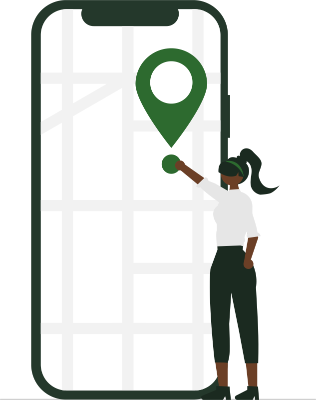
Document checks
Papers that match the plot
Upload a photo or PDF of the title deed, an Ardhisasa certificate or your national ID. TerraTrack reads the text, compares the owner's name and the land size with the listing, and scores the match.
- Clear matches are marked verified straight away
- Unclear ones go to a person for review
- A plot goes live only after the TerraTrack team approves its papers and the seller's ID
Marketplace
Browse land on a map, not just a list
Buyers see each verified plot as a pin on the map with its measured boundary, size and price, or scroll the feed. Diaspora buyers can look before they travel.
- Measured size on every listing
- Photos and location
- Message the seller from the listing
Chat
Talk it through, keep it on record
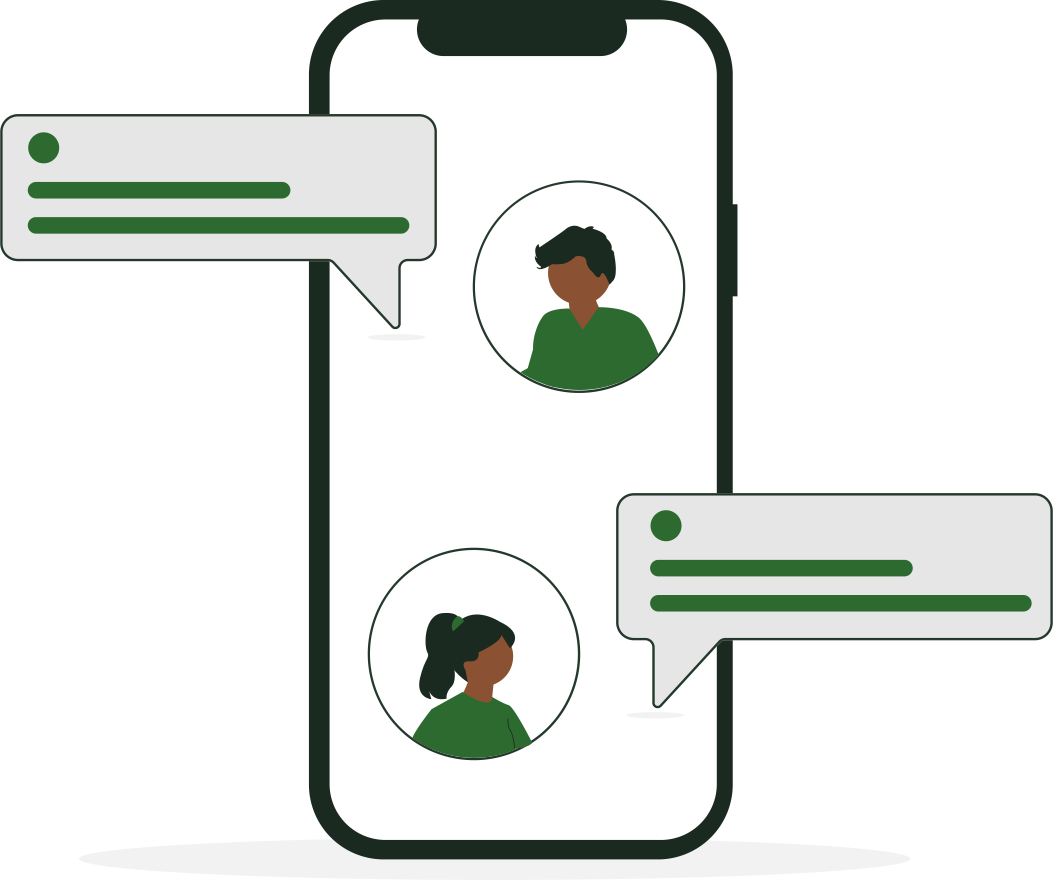
Buyers and sellers chat inside TerraTrack: send photos, documents, a location pin or a contact card. Messages arrive instantly, with read receipts and notifications.
- Attachments, location and contact sharing
- Read receipts and last seen
- The chat history backs up the deal trail if there is a dispute
The deal trail
Every step of the sale, agreed by both sides
Buyer and seller share one record. One side uploads the proof for a step, the other confirms it, and the sale moves on. If something goes wrong, either side can raise a dispute and the TerraTrack team reviews the evidence and the chat history.
- Step 1Agreement signedBoth sides
- Step 2Payment confirmedBuyer sends proof, seller confirms
- Step 3Waiting for title transferSeller files, buyer confirms
- Step 4Transfer verifiedSeller files, buyer confirms
- Step 5CompletedThe title is in the buyer's name
TerraTrack does not hold your money. Payment is made between buyer and seller as agreed; TerraTrack keeps the record and the proof of every step.
For agencies and land companies
Run your whole team from one dashboard
Register your organisation in the app, add your agents, and manage everything from the TerraTrack dashboard on your computer.
- Agents and admins with their own logins
- Verification queue for your listings
- Deals, disputes and chat evidence
- Subscription paid by M-Pesa
- Audit log of who did what
- All your listings in one place

Questions
Straight answers
Something else on your mind? Write to us on WhatsApp and a real person answers.
Does TerraTrack replace a surveyor?
No. Phone GPS is accurate to a few metres, which is enough to check that a plot is roughly the size you are being told before you pay, and to show buyers a measured boundary. Official boundaries and subdivisions still need a licensed surveyor.
Does TerraTrack hold the money?
No. Buyer and seller pay each other as they agree. TerraTrack keeps the shared record: each step, who confirmed it, the proof uploaded and the chat history. If there is a dispute, our team reviews that record.
How are documents verified?
You upload a title deed, Ardhisasa certificate or ID as a photo or PDF. TerraTrack reads the text and compares the owner's name and land size with the listing. Clear matches are verified automatically; anything unclear is reviewed by a person.
What does it cost?
Downloading the app, measuring, browsing and chatting are free. Sellers and agencies pay a subscription by M-Pesa to list land; the current plans are shown in the app.
Is it on Google Play?
The Google Play release is coming soon. Until then you can download the Android app (APK) directly from this site. iPhone is not supported yet.
Your next plot deserves a proper record
Install TerraTrack on your Android phone and measure your first plot today. It is free to download.
Google Play release coming soon.How to install the APK